Septic Tank Locating
Challenges Faced in Septic Tank Locating and How to Overcome Them

Septic tank locating presents several challenges, primarily due to the buried nature of these essential wastewater management systems. One of the most common hurdles is the lack of accurate records or documentation regarding the septic tank's installation or precise location. Over time, property boundaries may change, and records may become outdated or lost, making it difficult for homeowners or service providers to locate the tank.
Additionally, the composition of the ground can complicate the process. Soil types vary greatly, and dense or rocky terrain can impede traditional locating methods such as ground-penetrating radar or metal detectors. In some cases, vegetation or landscaping may have obscured the tank's access points, further complicating the search.
Septic tanks can degrade over time, leading to collapses or shifts in their position underground. This deterioration can make them even harder to locate accurately, as they may no longer be in the location indicated by old records.
To overcome these challenges, advanced technologies and methods have been developed. Ground-penetrating radar (GPR) systems equipped with high-frequency antennas can penetrate various soil types, providing more accurate imaging of underground structures, including septic tanks. Sonar devices are also used, emitting sound waves that bounce off underground objects and create detailed maps of their locations.
Get a free quote
Contact Us
Another approach involves using specialized dyes or tracers that are introduced into the septic system. By tracking the movement of these substances through the pipes, technicians can pinpoint the tank's location more precisely.
In cases where records are unavailable or unreliable, professional septic tank locating services employ a combination of these technologies along with experienced fieldwork to ensure accurate identification. Regular maintenance and updating of records also play a crucial role in mitigating future challenges in septic tank locating.
What is septic tank locating?
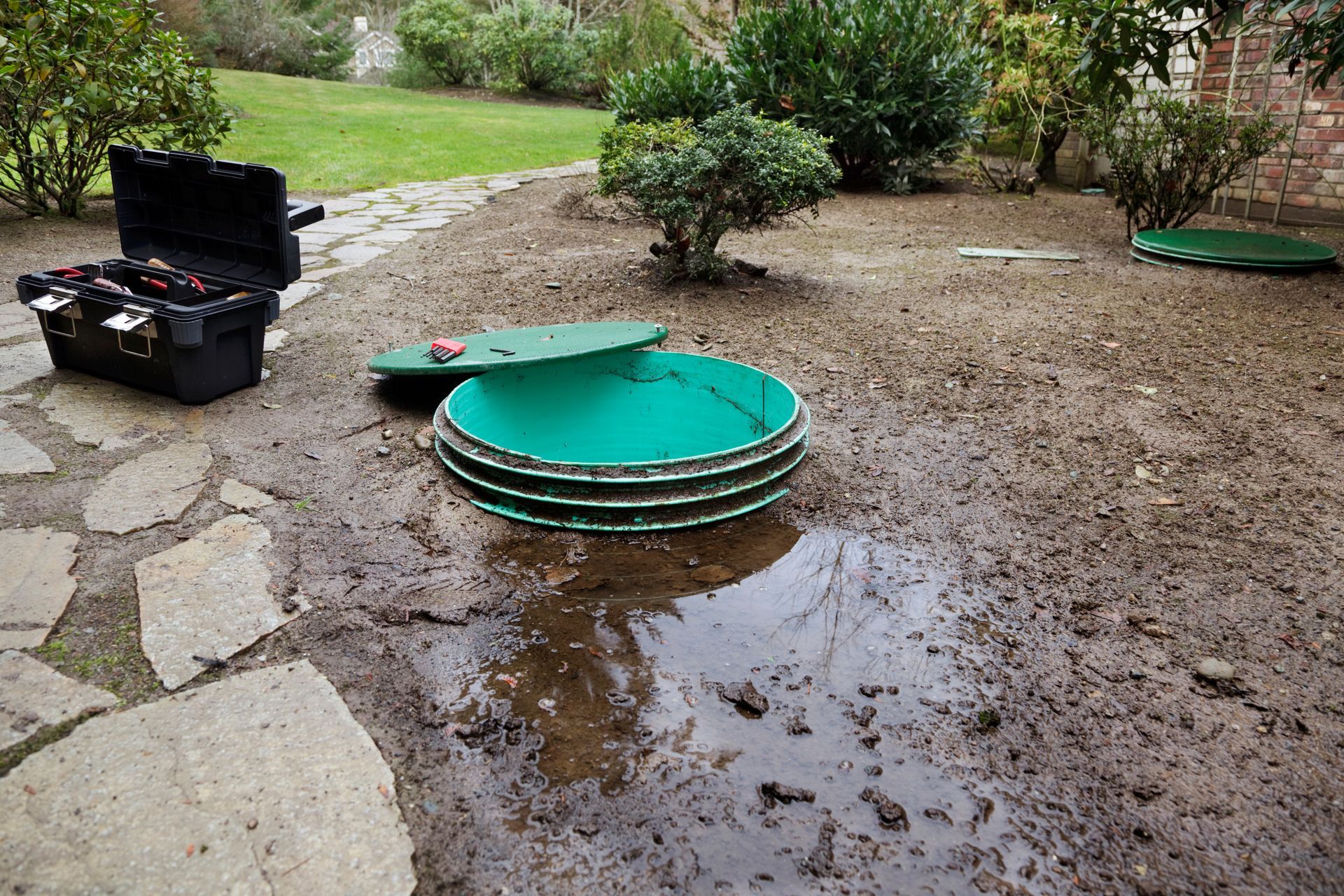
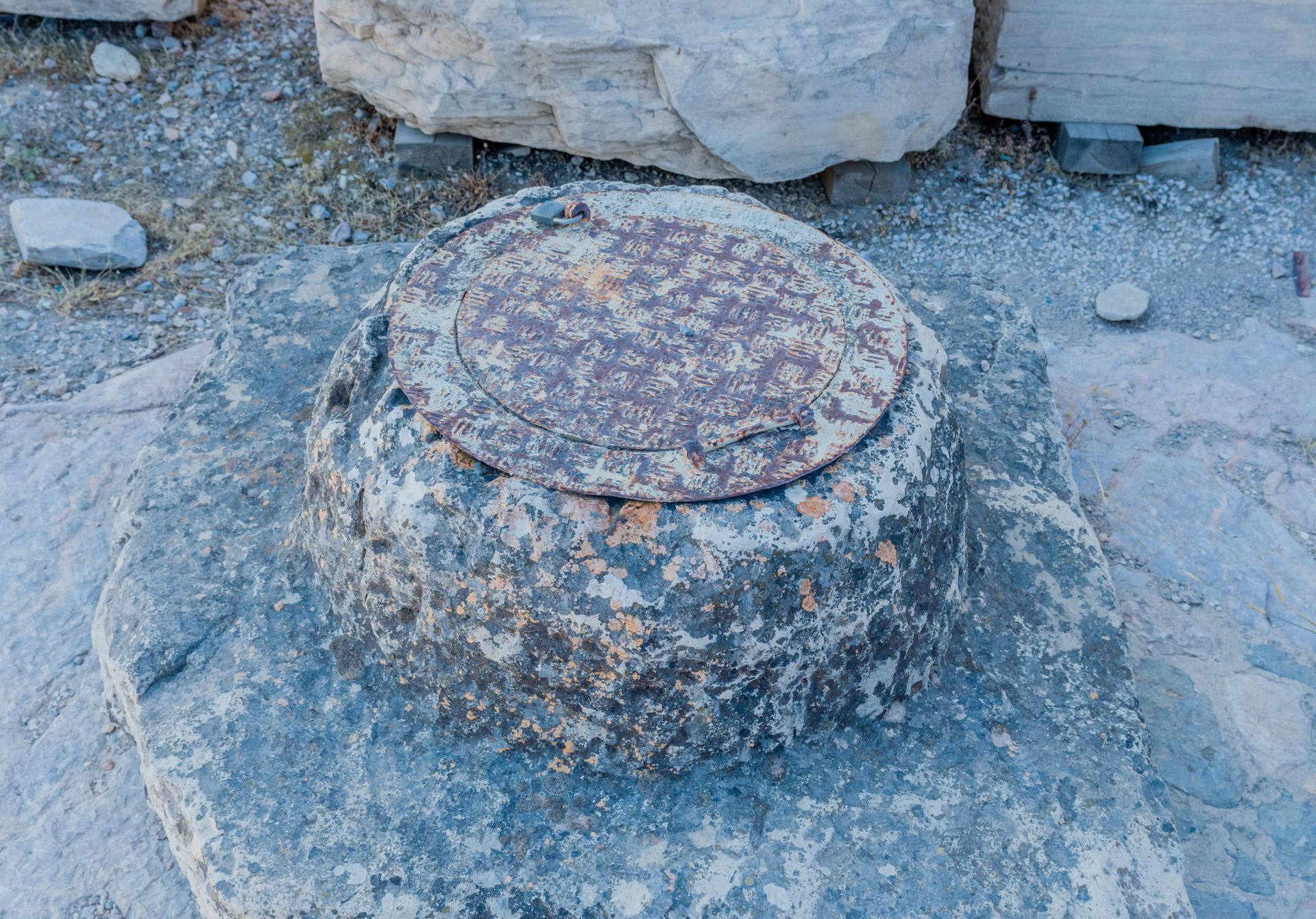
Septic tank locating involves identifying the precise position of a septic tank buried underground. This process is essential for maintenance, repairs, or upgrades to the septic system. Using specialized equipment such as ground-penetrating radar or metal detectors, professionals locate the tank without the need for extensive excavation.
Accurate locating saves time, effort, and costs associated with digging up the entire yard. It ensures proper maintenance, prevents damage during construction or landscaping projects, and facilitates efficient servicing. Septic tank locating is crucial for homeowners, contractors, and septic system service providers to ensure the functionality and longevity of the septic system.
Why is it important to locate a septic tank?
Locating a septic tank is crucial for several reasons. Firstly, knowing its precise location prevents accidental damage during construction or landscaping activities, which could lead to costly repairs or contamination of groundwater. Secondly, routine maintenance such as pumping and inspection requires access to the tank, so knowing its location ensures efficient servicing.
Additionally, in emergency situations such as leaks or blockages, quick access to the septic tank facilitates timely repairs, minimizing health hazards and environmental harm. Locating a septic tank promotes environmental stewardship, safeguards public health, and preserves property value by ensuring proper management of wastewater systems.
Having an Emergency?
We're available 24-hours a day, 7 days a week.
Role of Geographic Information Systems (GIS) in Septic Tank Locating
- Data Collection and Integration: GIS allows for the collection and integration of various spatial data relevant to septic systems, including property boundaries, soil types, terrain elevation, water tables, and existing infrastructure. This data can be gathered from various sources such as satellite imagery, surveys, and public records.
- Mapping and Visualization: GIS enables the creation of detailed maps that display the location of septic tanks, drain fields, and other related infrastructure. These maps can be layered with additional information such as property ownership, land use, and environmental factors, providing a comprehensive view of the area.
- Site Analysis and Suitability Assessment: GIS tools can be used to analyze site suitability for septic system installation based on factors such as soil permeability, slope, proximity to water bodies, and regulatory requirements. This helps in identifying suitable locations for new septic systems and assessing potential risks associated with existing ones.
- Regulatory Compliance: GIS can assist regulatory agencies in monitoring compliance with septic system regulations by maintaining accurate records of installation permits, inspection reports, and maintenance schedules. By tracking the location and condition of septic systems, authorities can ensure that they meet environmental and health standards.
- Emergency Response and Public Health: In the event of septic system failures or environmental contamination incidents, GIS can facilitate rapid response efforts by providing real-time information on the location of affected systems, nearby sensitive areas, and emergency response resources. This helps mitigate public health risks and minimize environmental damage.
- Asset Management: GIS serves as a valuable tool for asset management by maintaining inventories of septic system components, tracking their condition and maintenance history, and scheduling routine inspections and maintenance activities. This proactive approach helps prolong the lifespan of septic systems and reduce the likelihood of costly repairs or replacements.
- Public Education and Outreach: GIS-based maps and interactive applications can be used to educate homeowners, developers, and other stakeholders about the importance of proper septic system maintenance, as well as best practices for site selection, design, and operation. By increasing awareness and understanding, GIS contributes to the sustainable management of septic systems and protects water quality.
Geographic Information Systems play a multifaceted role in septic tank locating, from initial site assessment and planning to ongoing monitoring and management, ultimately supporting environmental sustainability and public health objectives.